
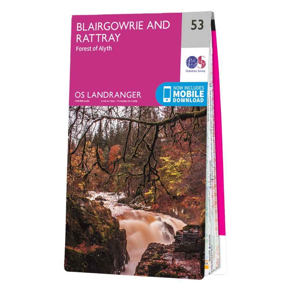
Ordnance Survey Landranger Map 53 – Blairgowrie and Rattray-Forest of Alyth Topographic mapping Highly detailed contour mapping highlighting variations in terrain and everything you would expect from a map Explore local landmarks Discover camping sites, picnic spots, tourist information, car parks, historical sites, pubs, & much more Free digital map download Every 4cm on the map is 1km, making our leisure selection the most detailed maps; perfect for activities such as walking, running, and cycling Be ready for anything Find marked public rights of way, byways, trails, cycle routes, bridleways, road networks, & railway lines
 Ordnance Survey Explorer 314 Map Solway Firth Navigation & Maps
£14.99
Ordnance Survey Explorer 314 Map Solway Firth Navigation & Maps
£14.99
 Ordnance Survey Explorer Map 468 - Shetland Mainland North East Whalsay & Out Skerries Navigation & Maps
£14.99
Ordnance Survey Explorer Map 468 - Shetland Mainland North East Whalsay & Out Skerries Navigation & Maps
£14.99
Ordnance Survey Landranger Map 53 – Blairgowrie and Rattray-Forest of Alyth Navigation & Maps
£14.99
Ordnance Survey Landranger Map 53 is designed to deliver reliable performance in outdoor conditions, making it a dependable choice for your next trip. Built for durability and ease of use, it helps you stay comfortable wherever you are. Ideal for camping, hiking, and everyday outdoor adventures.


Reviews
There are no reviews yet.